
GPR Technology
Ground Penetrating Radar Systems
Advanced GPR technology for subsurface imaging and analysis
GPR Technology
Professional GPR Solutions
High-precision GPR systems for construction, geology, and utilities
GPR Technology
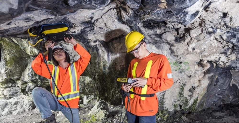
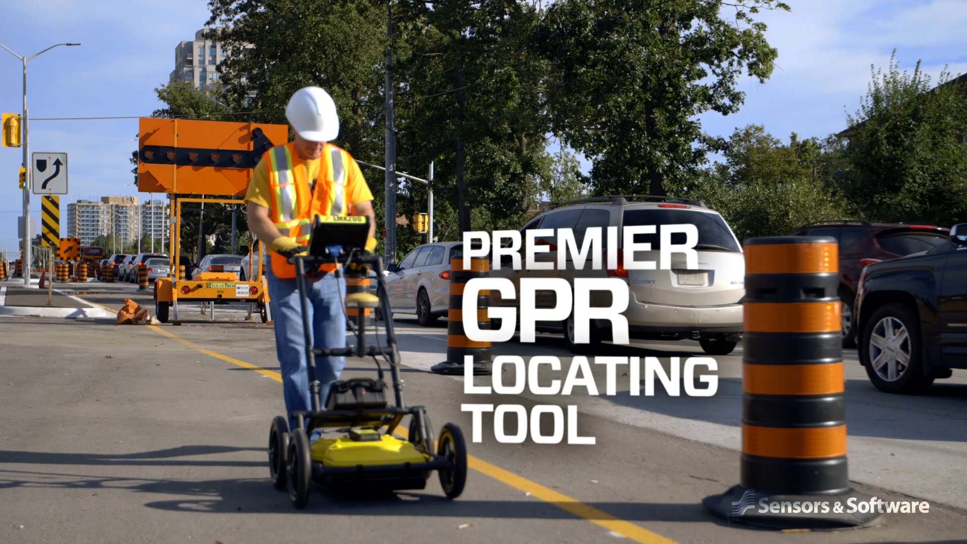
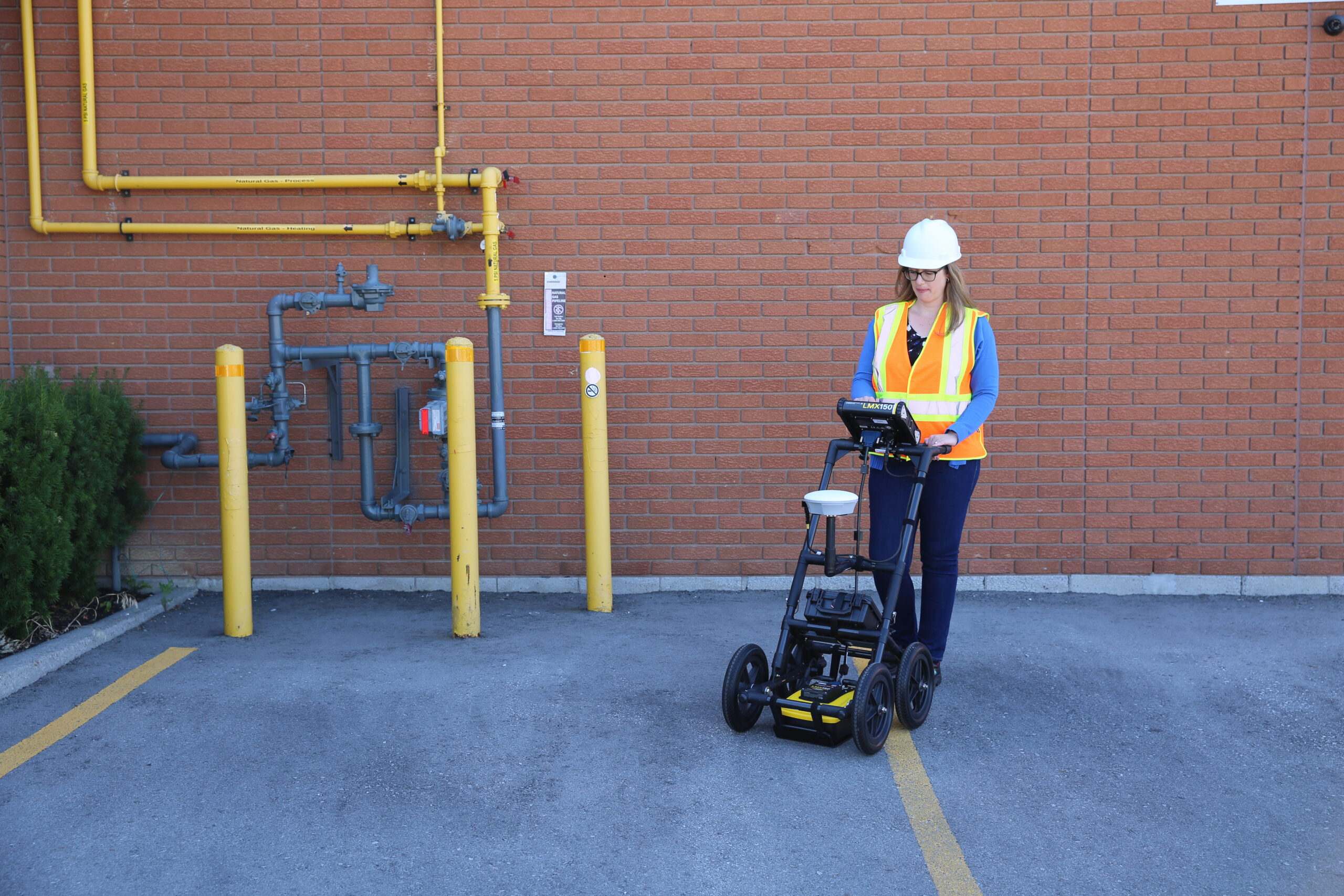
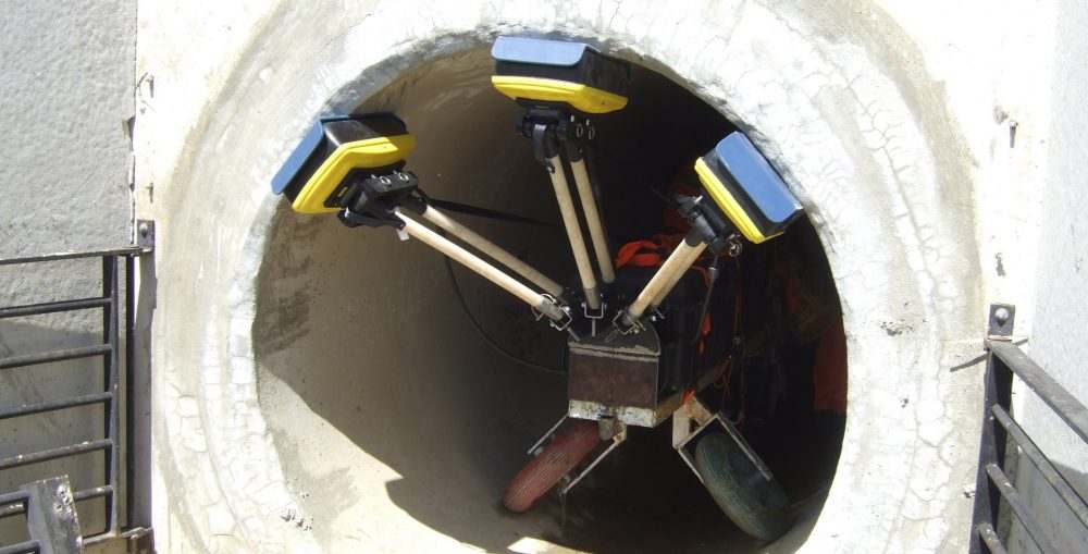
Underground Utility Detection
Detect utilities, pipes, and cables with precision GPR technology
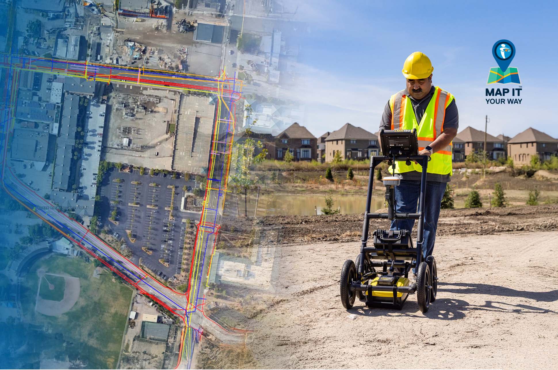
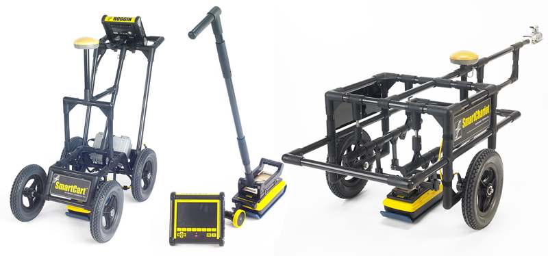
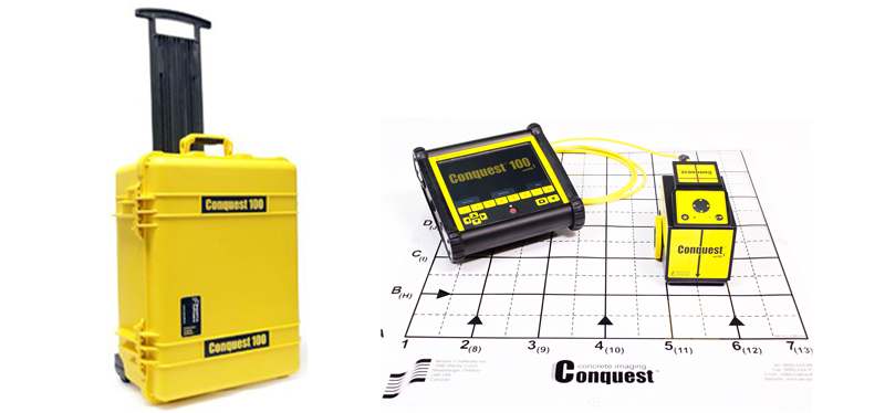
GPR Product Catalog
Explore our range of professional GPR systems and tools.

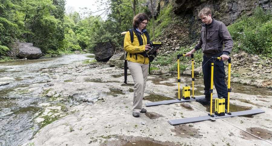
GPR Systems
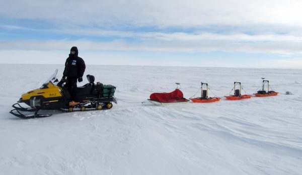
Agriculture & Forestry
Advanced multi-frequency GPR system for deep penetration surveys
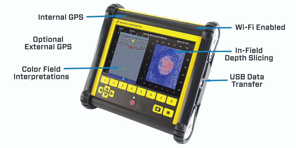
Software
EKKO Project GPR software
Comprehensive GPR data processing and visualization software
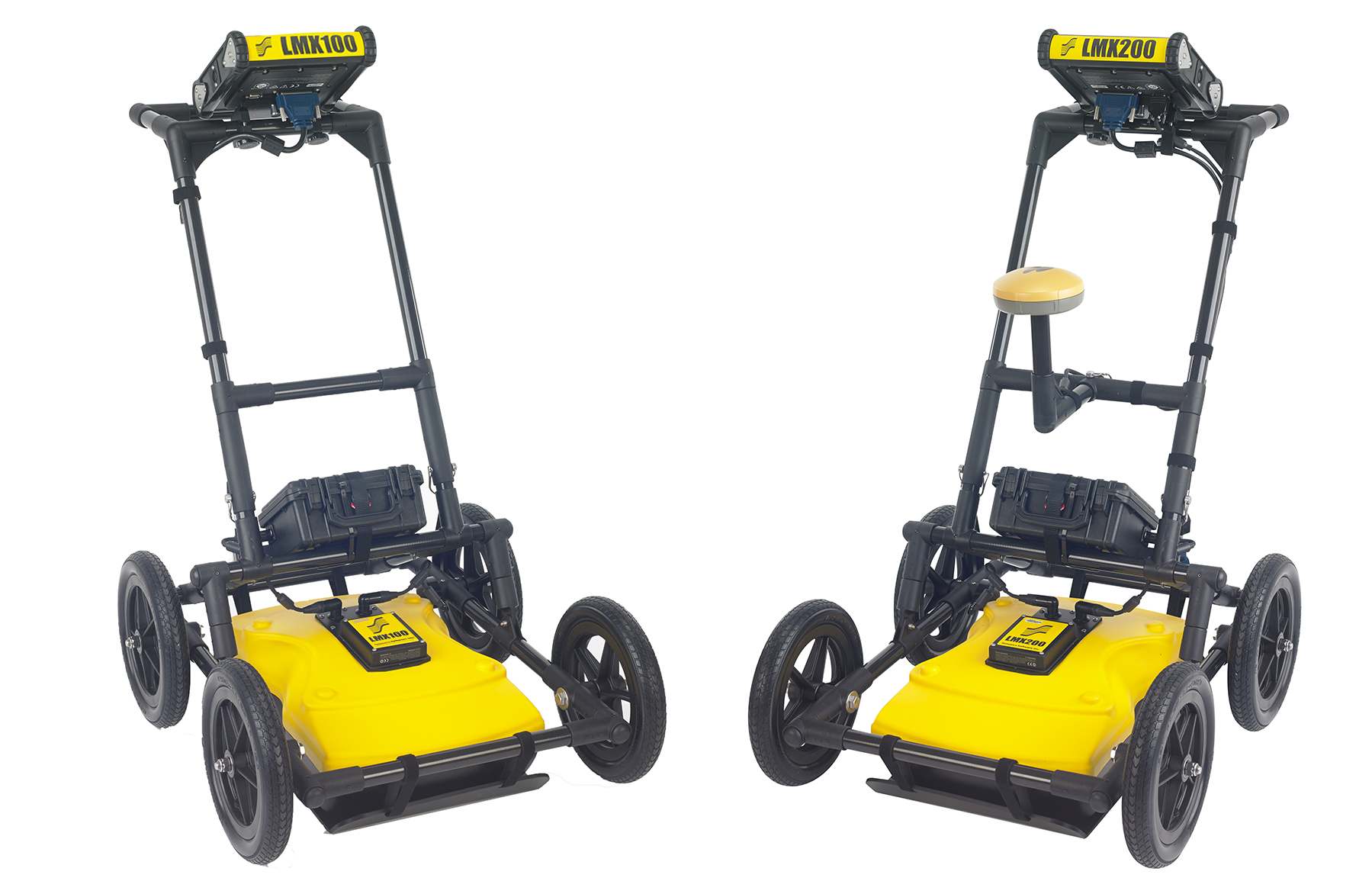
Advanced Systems
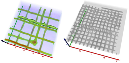
Mapping drainage tiles in Complex Areas
Multi-channel GPR system for comprehensive subsurface imaging
GPR Systems
Archaeological Survey
Advanced multi-frequency GPR system for deep penetration surveys
Advanced Systems
Geotechnical & Environmental
Professional GPR system with advanced data processing
Software
EKKO Project GPR software
Comprehensive GPR data processing and visualization software
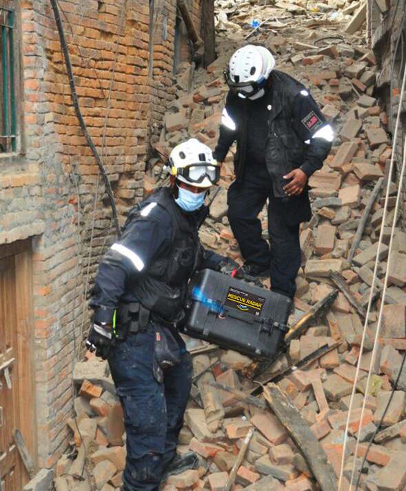
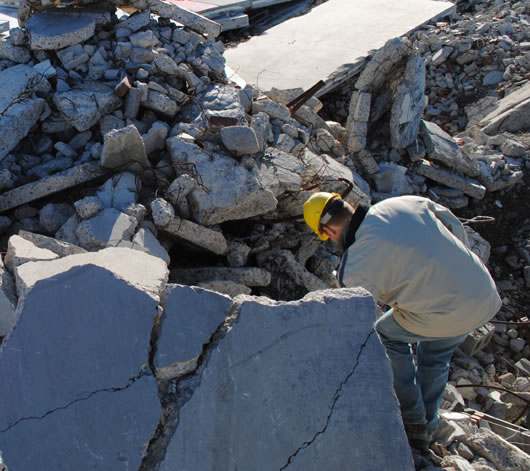
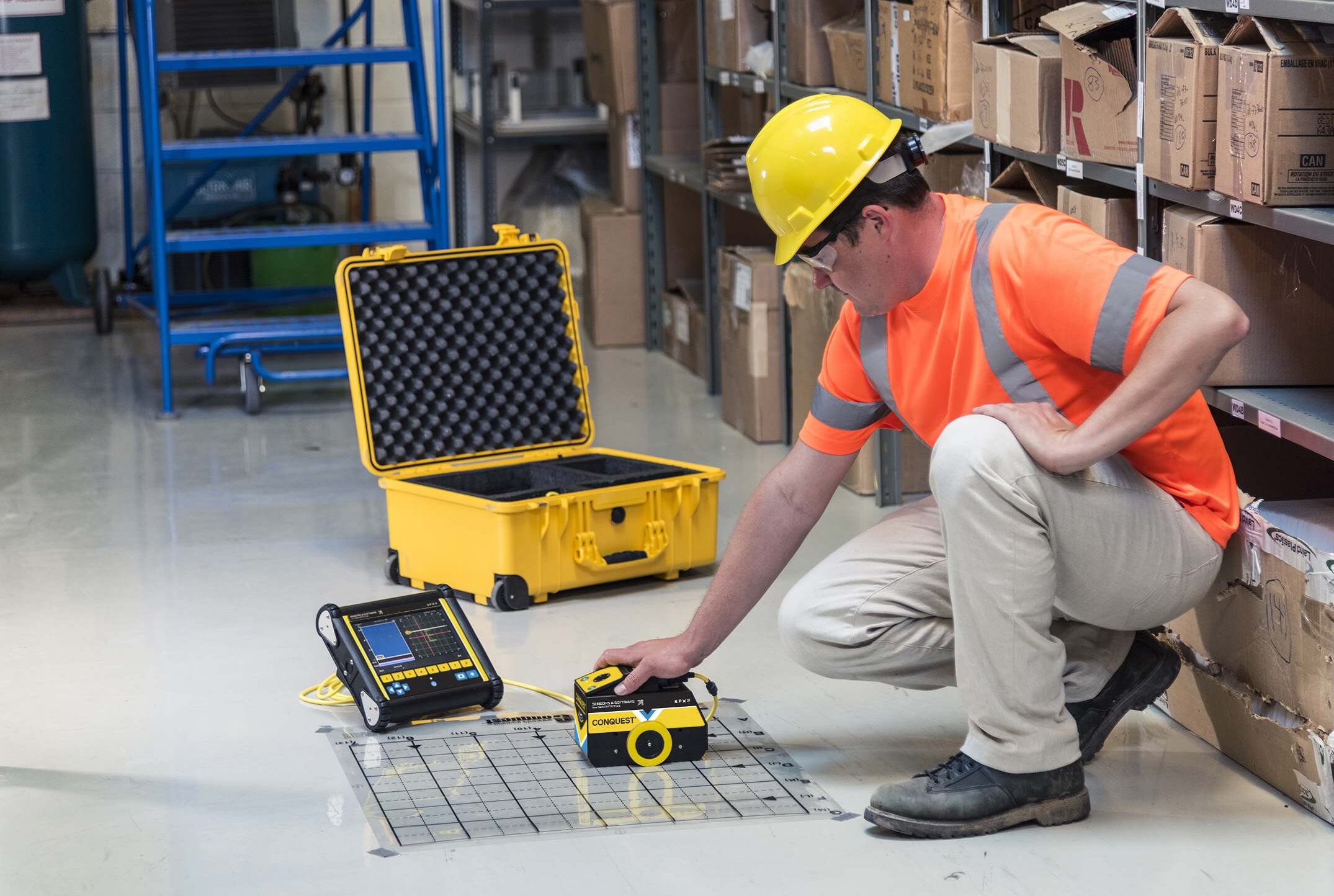
Emergency Response
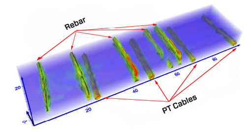
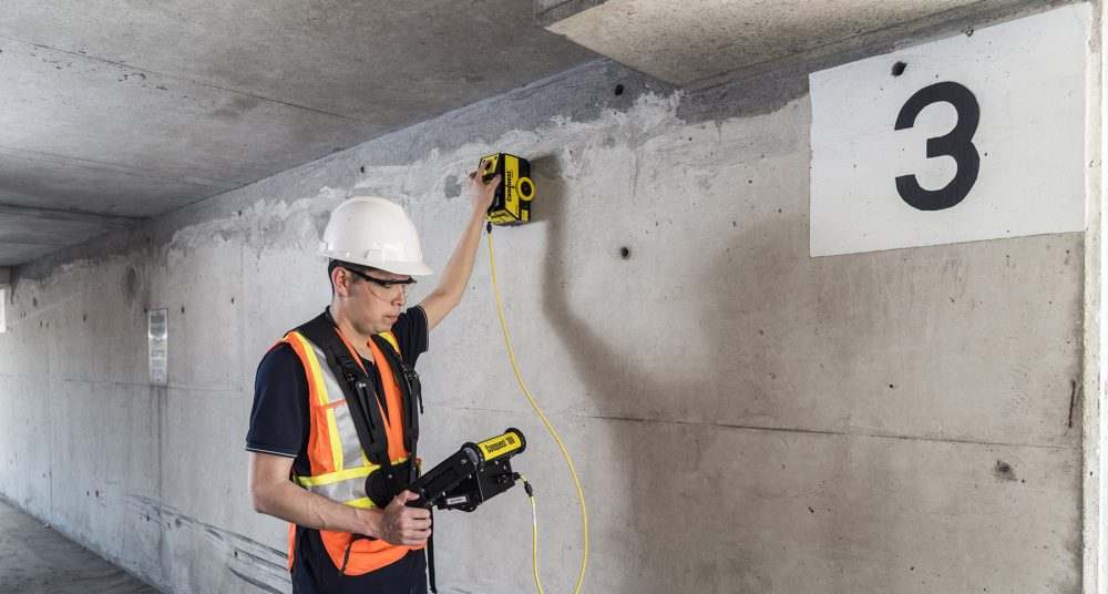
Concrete Scanning
Portable GPR designed for search and rescue operations
Advanced Systems
SPIDER Multi-channel GPR
Multi-channel GPR system for comprehensive subsurface imaging